
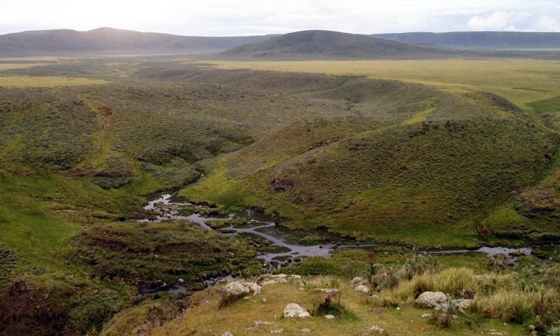
The Ngorongoro Highlands are much more than the famous crater. The conservation area includes uplands, savannah, forest, volcanoes and routes used by people, livestock and wildlife. It is a multiple-use landscape recognised by UNESCO for both natural and cultural value.
Conservation and human life
Wildlife and Maasai pastoral communities share the wider territory within a complex and changing regulatory environment. Visitors should avoid simplified stories and recognise residents as people with rights, not scenery for a safari.
Beyond the crater
Depending on permits and route, travellers may explore authorised viewpoints, highland paths and areas near settlements. Some walks require a ranger or authorised guide. Rain, mist and trail conditions can change quickly, so the route is confirmed locally.
Climate and equipment
- Mornings and nights can be cold; bring layers.
- Use footwear with grip and rain protection.
- Carry water, sun protection and binoculars.
- Stay on authorised paths and follow wildlife instructions.
Walking in Ngorongoro
For an active itinerary, read our Ngorongoro Highlands trek. For the classic vehicle experience, see the crater safari guide.
Combining the northern circuit
Ngorongoro connects naturally with Serengeti, Lake Manyara and Tarangire. A highland night may reduce driving and broaden the experience.
Permits
Access to particular routes is regulated. Permits, guide requirements and timings must be checked before departure. Tell us the pace you want so crater, landscape and culture can be combined without overloading the route.

